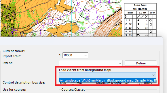
An extent is an area in OCAD that you define and save, which you can use for various purposes, such as printing, exporting, or creating a layout.
The latest OCAD Update brought improvements to reuse extents.
How to create an extent?
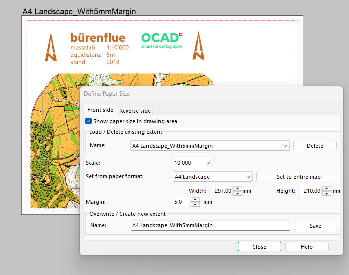
Use the Define Paper Size function to create and save a new extent. This can be a standard paper format like A4 or any custom format.
The extent will be shown in the drawing area and the area outside will be grayed out. This is helpful, for example, when you’re creating a layout for a map.
How to use an extent for exporting and printing
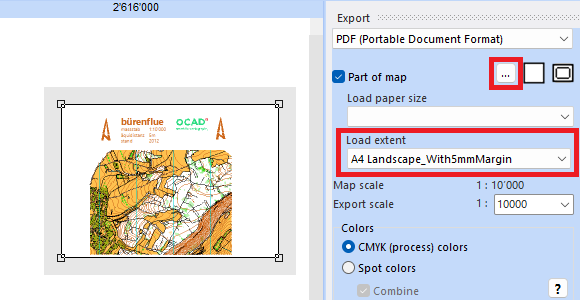
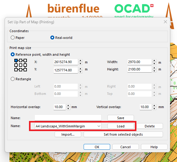
If you have saved an extent, it is also available both in the export dialog (Menu File > Export > Load extent) and in the print dialog (Menu File > Print > Part of map > Set Up…). In the latter dialog it is also possible to save and delete extents.
Improvements since the latest OCAD Update
Since the latest OCAD Update, also extents from background maps can be loaded in the Define Paper Size and Canvas function.
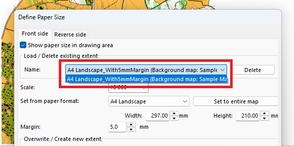
This can be useful, for example, for course setting projects when you use the Canvas function and load already defined extents from your layouts files.