There are different ways to display an OCAD map on smartphones. Of course you have already been able to export the map as pdf or jpg and display these files on the smartphone – but the georeferencing has been lost and it was not possible to navigate with these maps. Another option was to export the OCAD map as kmz file and to open this map in Google Earth.
We improved the georeferenced tiff export in the OCAD 11.3.10 Service Update. So the exported raster map is now compatible with mobile apps like Avenza PDF Maps or ape@map .
This post shows you how to upload an OCAD map to the smartphone app PDF Maps. This app is free and available for iOS and Android (beta version).
– Please check if your map is georeferenced and the coordinate system is set (Map menu -> Set Scale and Coordinate System).
– Export the map as tiff file and activate the option ‘Create World file’. We recommend a resolution of 300 dpi.
– The app PDF Maps allows you to import the tiff file from iTunes and Dropbox. So copy your tiff file to Dropbox.
– Start the PDF Maps app and press the + icon to import the tiff file from Dropbox. The app processes the map during the import.
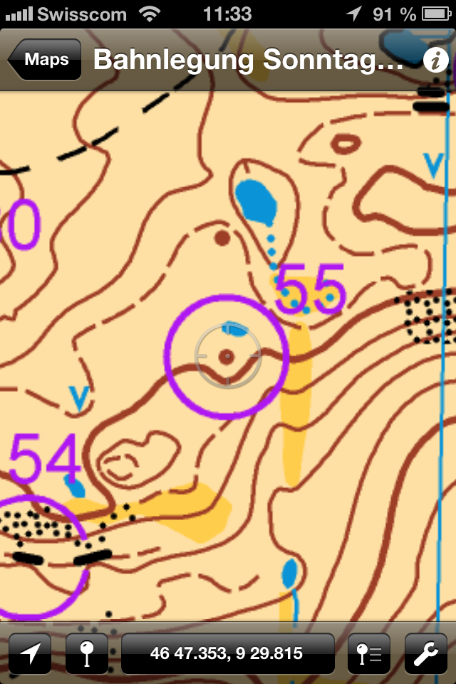
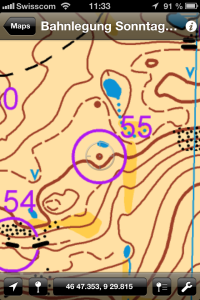
– Choose the uploaded map and it will be displayed. The GPS cursor shows the current position on the map.
Thanks to Flemming for the idea!
Link PDF Maps