Monthly Archives: December 2021

Win an OCAD License!

Take a chance and with a little luck get an OCAD license!

OCAD is sponsor of the following two contests:

Course of the Year by worldofo.com

There will be a voting process among the readers of the popular website
World of O in order to name The course of the year 2021 in each
category (Sprint, Middle and Long).

OCAD is one of the sponsors of this inspiring survey and you have the
chance to win a 3-Year OCAD Orienteering license.

There will be a prize for the first one suggesting the course which ends
up becoming The course of the Year 2021, and prizes drawn among the
ones suggesting and voting.

More information here.

Course Setting Contest by Swiss Orienteering

In the second contest there is even more to win: a 3-year license each
of OCAD Orienteering, OCAD Starter and OCAD Course Setting!

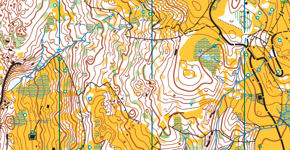
This time you have to set your own courses in the course setting contest
of the Swiss Orienteering Magazine. The task is to convince the jury
with a performance-oriented D20 and H75 long distance course.

More information here in Deutsch, French or Italiano.

Good luck!

How to reduce the file size?

Have you ever wondered why the file size of one of your map is so large? Then it’s probably time to clean up your map.

Here are some suggestions how you can reduce the file size:

#01: Optimize/Repair

Choose the Optimize/Repair command in the Map menu to optimize (reduce) the size of the map file and repair damaged objects. With edit operations such as deleting objects, empty space is created in the map file. This function removes this empty space and therefore reduces the size of the map file. It’s therefore highly recommended to run the Optimize/Repair from time to time.

Optimization result of a map.

#02: Select and delete unnecessary objects

In the picture example above, you can see that there are many objects without symbols, unknown symbol or invalid symbol type.

Choose Select Objects by Symbol in the Select menu to select all objects with certain symbols or in a certain layer.

You can now assign the selected objects to new symbols or (what is probably more often the case) delete the objects.

Select By Symbol.

#03: Smooth not smoothed contours

When creating contours with the DEM Import Wizard, you can choose to create not smoothed contours. These contours consists of many vertices and let your file size increase.

Select the contours and run the Smooth command in the Topology menu to reduce the amount of vertices. Make sure to choose the tolerance so that no information is lost. Run the Optimize / Repair command afterwards.

PS: To select all contours at once, either right-click on the contour symbol in the symbol box and choose Select Objects by Symbol or use the Select Objects by Symbol function.

Select contours and run the smooth command.

#04: Remove unnecessary areas

If you import existing geodata, e.g. by using the New Map Wizard, you probably import an area too large. You can Crop the map to the size of your actual project scope and remove unnecessary areas. Run the Optimize / Repair command afterwards.

Crop part of your map that you do not use.