Monthly Archives: July 2020

Load Georeferenced Google Maps Aerial Images

Would you like to quickly and easily load a georeferenced aerial image as background map?

Then this is best done with the function Online Map Services. The function loads a Google Maps image directly at the right place.

This is how easy it works (Video you YouTube):

– Open the Online Map Services in the OCAD Background Map menu.
– Move and zoom in Google Maps to the desired extent.
– Load the image correctly geo-referenced as background map.

If the map is not geo-referenced, you need to adjust the Background Map afterwards.

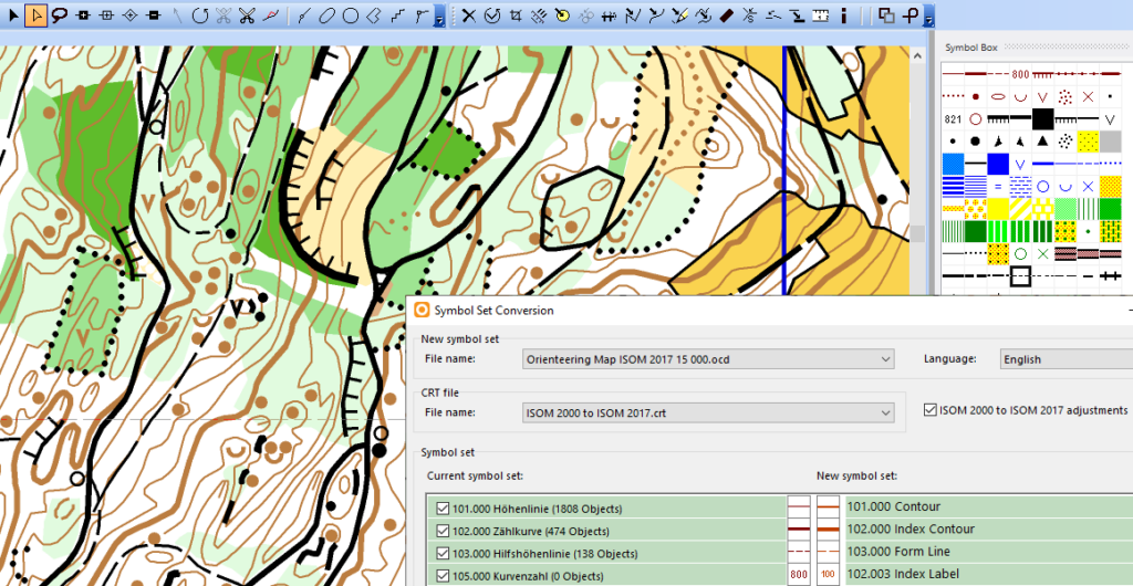
Updating Orienteering Maps in OCAD

Not every map project covers unmapped terrain. Actually, it is quite likely that an older orienteering map of the same area already exists.

As our environment is constantly changing, sooner or later orienteering maps have to be updated. But how is this best done?

We have created a Wiki page about Updating Orienteering Maps in OCAD. It contains a possible workflow, as well as numerous tips and suitable functions.

Have fun reading it.

Updating_Orienteering_Maps