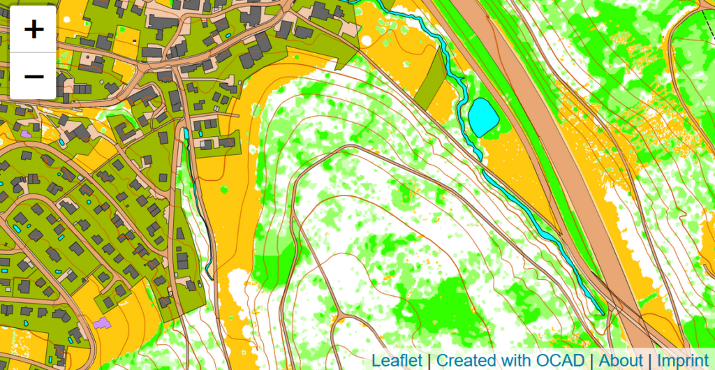
MapAnt Switzerland is an automatically generated orienteering map that should cover the whole of Switzerland in the near future. As a pilot project, the region of north-western Switzerland was calculated. To map all parts of Switzerland, we depend on free and freely available LiDAR data, which are not yet available in all cantons. However, this should be the case in near future.
The map tiles were created in OCAD. Contour lines and a vegetation map were derived from LiDAR data. Also, data from the official cadastral survey were imported and converted into OCAD symbols. Afterwards, WMTS tiles were exported and made available on the web with leaflet.
More about the MapAnt Switzerland project can be found in our Wiki.
Credits: MapAnt Switzerland was inspired by various similar projects worldwide and got financial support by OL Gönnerclub. Thanks a lot!