SOSI is a much used geospatial vector data format predominantly used for exchange of geographical information in Norway.
The Norwegian Mapping Authority Kartverket released its map data in SOSI file format for free use in September 2013.
The current OCAD 11 Service Update 11.4.1 supports the import of SOSI data. OCAD has two crt files (cross reference table) to convert the objects from SOSI layers to the symbols of sprint orienteering maps (ISSOM) or orienteering maps (ISOM) .
Imported SOSI N50 data and converted to ISOM symbols

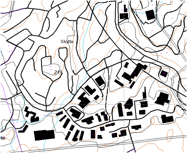
More detailed SOSI data converted to ISSOM symbols
Download the current OCAD 11 Service Update 11.4.1 from our website or buy it online.
OCAD Wiki about SOSI Import.