Orienteering maps should been drawn according to the International Specification for Orienteering Maps (ISOM). This ensures that different types of terrain around the world are mapped with the same symbols that every orienteer understands.
These specifications are updated from time to time. For example, the specifications for Forest Maps (ISOM 2017) and Sprint Maps (ISSprOM 2019) have recently been revised. Orienteering maps, which were still drawn with symbols of an old specification, can be easily updated to the current specifications in OCAD.
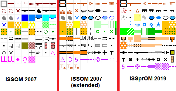
Sometimes it’s tricky to find out which symbol set is the current one or with which symbol set a map was drawn. The wiki page Symbol Set Overview was created for this purpose.
A demonstration how to update a Sprint Map from ISSOM 2007 to ISSprOM 2019 can be seen here.