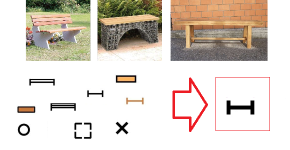
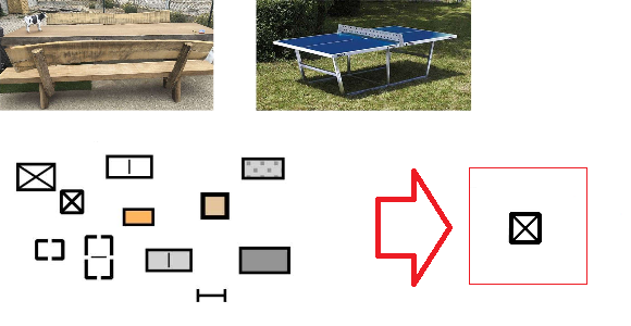
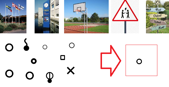
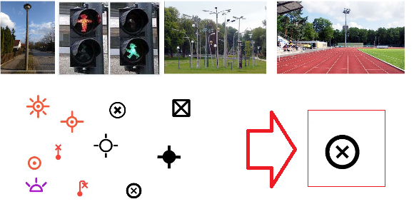
Until recently, there were many symbol sets for drawing school orienteering maps. Therefore, the IOF Map Commission has been commissioned to produce a simple set of symbols for school maps for scale 1:1000 to 1:2500. The basis for the symbol set for school orienteering maps is the ISSprOM 2019. All symbols of ISSprOM 2019 have been enlarged to 125% and 6 additional symbols have been added (see pictures below).
If you like to use this symbol set in OCAD:
– File > New
– Map type: Orienteering map
– Load symbol set from: Symbol Set for School Orienteering Maps 2019.ocd
The default Map scale is 1:1’000. If you like to draw your map in a different scale, just enter the desired scale. Do not Scale symbols.

When opening the school set in 1:1,000, the distance between N lines is 37.5 m which is a rather odd distance, especially when trying to use it with school children!
Hi Andrea
I agree it’s odd. but we just stuck to the IOF document SYMBOL SET FOR SCHOOL ORIENTEERING MAPS 2019.pdf, which says:
“All symbols of ISSprOM 2019 are enlarged to 125%.”
In ISSprOM 2019 the distance is 30mm, so it’s 37.5mm in the school set.
If you like, you can edit the symbol and change the distance for yourself.
Regards,
Andreas
There are these really complicated playground structures with turning slides, towers, monkey bars, etc., that can’t easily be represented with the lines and dots. For these I have actually been using an adjusted canopy symbol, gray fill and dashed outline, to represent the overall shape. I have found students much more easily interpret this than trying to figure out the complicated layout in dots and lines