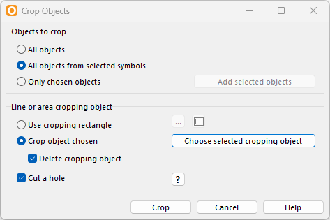
The Crop Object funtion in OCAD offers many possibilities, such as cropping a map or deleting certain objects in an area.
Here are a few examples:
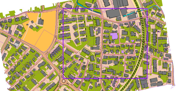
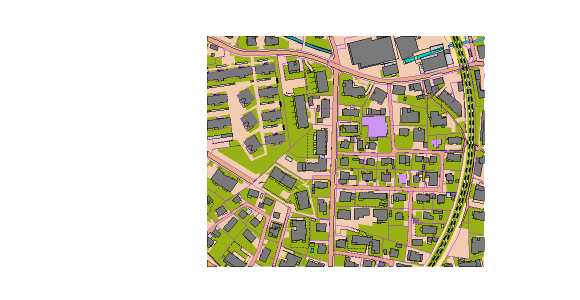
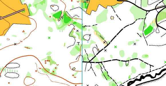
- Create a desired sector
Use this method to crop the map to a certain extent.

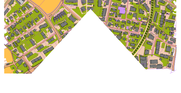
- Create a hole
Use this method to cut away parts of the map.


- Delete selected objects in a certain area
Use this method to create a multitechnique training in orienteering sports or crop all buildings within a certain area.
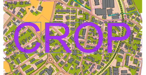
Special: Crop Text
You can also use text objects as cropping objects. Just convert them first into Graphic Objects in the Object menu.