OCAD AG has released a new Service Update for OCAD 11 which contains improved features and fixed bugs. The improved import of airborne Laser scanning data in LAS file format now needs 50% less memory during the import. This makes it possible to import bigger LAS files into OCAD.
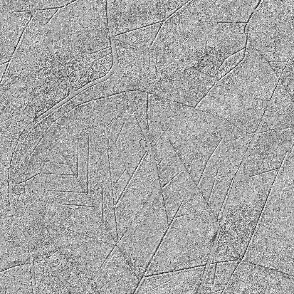
We got from a customer brand new airborne Laser scanning data from a forest. This data was used to improve the LAS import in OCAD.
Technical data:
– File format: LAS
– File size: 1.3 GB
– Area: 1000x1000m
– Number of points: 49 millions
That means 49 points per square meter, still 19 points per square meter therefrom on ground! OCAD 11 imports this data successfully and calculates different derived products.
The calculated hill shading from the DTM shows not only the road, path and watercourse network but also the tracks of forestry vehicles are good recognizable in this flat area.
Visit our Wiki to see all derived products.