It exists different options, but the easiest way is to overlay the map in Google Earth.
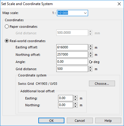
Check first if the map is georeferenced. Click Map -> Set Scale and Coordinate System and check if the Real-world coordinates and the Coordinate system are set.
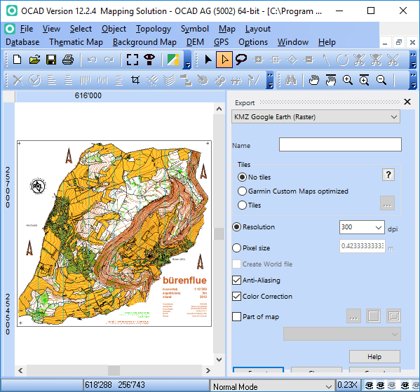
Export the map in KMZ Google Earth format.
Click File -> Open Recently Export Documents to open the kmz file in Google Earth. That works only if Google Earth is also installed.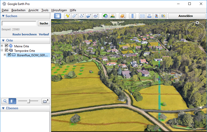
The map matches which the Google Earth image. So, the OCAD map is correctly georeferenced.
It’s a great feature. There will be a lot of help in the field.