LAS Data

From OCAD Wiki - English
Revision as of 09:50, 20 October 2022 by ANK (talk | contribs)
(diff) ← Older revision | Latest revision (diff) | Newer revision → (diff)
Jump to navigation Jump to search

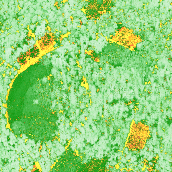
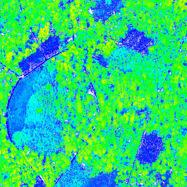
This page shows derived products from brand new airborne Laser scanning data with a very high resolution (49 points per square meter). The images below have a resolution of 0.25m per pixel.
More examples an be found on the DEM Import Wizard page.
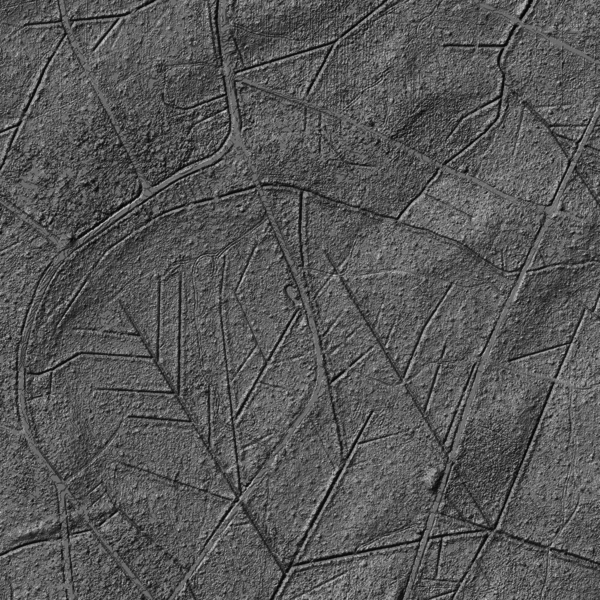
Hill Shading

DtmHillShading.png

Difference DSM-DTM

DifferenceDSM DTM.png

Classification of Vegetation Height

ClassifiedVegetationHeight.png