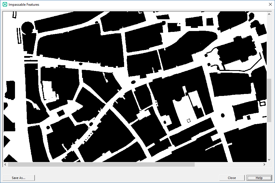
Show Impassable Features
Jump to navigation
Jump to search
This function is available for orienteering maps or course setting projects that comes in an official IOF symbol set.
This function shows a black/white image with all impassable features (incl. course overprint out-of-bounds features).
- OCAD checks for all IOF map specifications (ISOM, ISSprOM, ISSkiOM, ISMTBOM) that the first symbol of these numbers (101.000, 101.001, 101.002) is a contour symbol (brown main line without any gaps or double line)
- OCAD recognizes ISSprOM 2019 symbol sets if they contain at least one symbol 505.00n Unpaved footpath, the symbol 513.200 Passable retained wall and - additionally for ISSprOM 2019-2 - the symbol 512.30n Area passable at two levels

Click the Save As... button to save a the image as TIFF file. The default path is your map's folder.
If you get an error, that means that OCAD does not recognize your symbol set as an official IOF symbol set. In such a case, please consult the Symbol Set Overview page to find out what kind of symbol set you have and how to update it to the new specifications.
