LAS Data

From OCAD Wiki - English
Jump to navigation Jump to search
The printable version is no longer supported and may have rendering errors. Please update your browser bookmarks and please use the default browser print function instead.

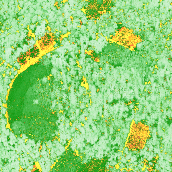
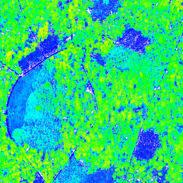
This page shows derived products from brand new airborne Laser scanning data with a very high resolution (49 points per square meter). The images below have a resolution of 0.25m per pixel.
More examples an be found on the DEM Import Wizard page.
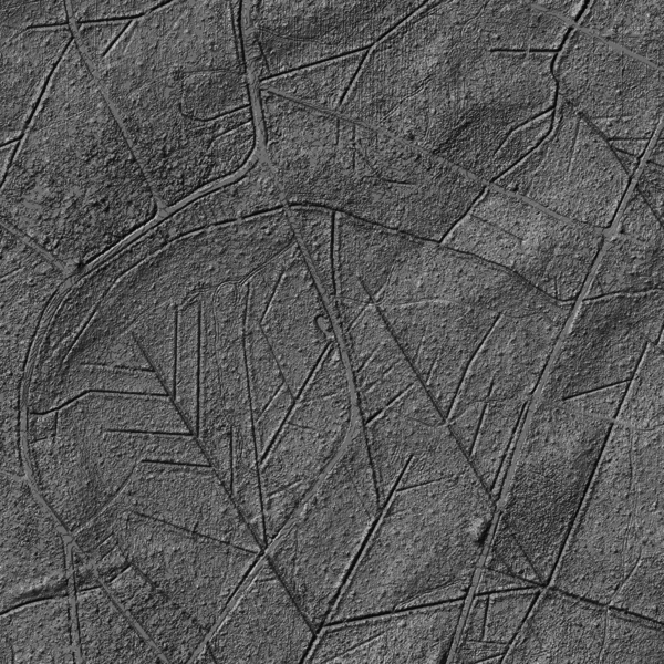
Hill Shading

DtmHillShading.png

Difference DSM-DTM

DifferenceDSM DTM.png

Classification of Vegetation Height

ClassifiedVegetationHeight.png