![]()
OCAD Newsletter - May 2020
English Version | Deutsche Version weiter unten
Grüezi XXXNAME
With this newsletter, OCAD Inc. provides information about its current products, activities, projects and events:
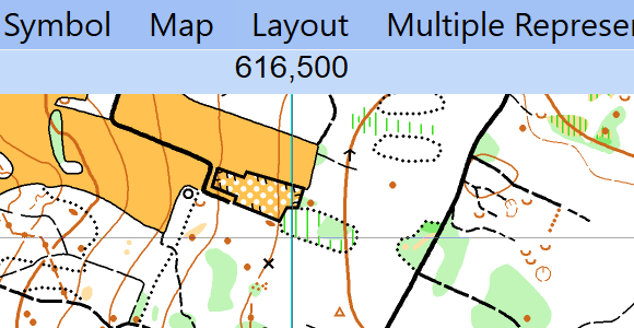
1. Razor-Sharp Appearance of OCAD
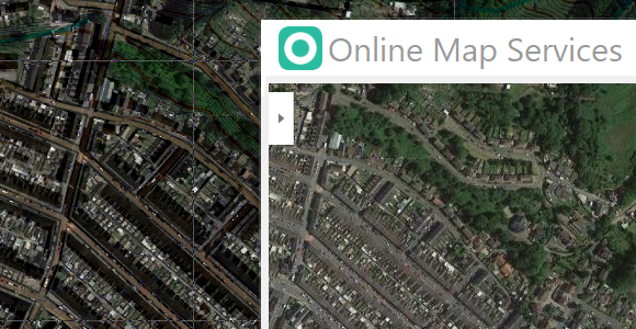
2. Load georeferenced Google Maps Aerial Photos
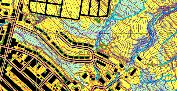
3. UK Ordnance Survey Data Added to New Map Wizard
4. OCAD Inc. at Fairs and Events
5. OCAD Product Family