The latest OCAD update no longer creates a 32-bit version for most users.
What version of OCAD is installed?
For OCAD Orienteering, OCAD Starter, OCAD Course Setting and OCAD Viewer, OCAD Setup will only install the 64-bit version.
Note: In the past, certain features were only available in the 32-bit version (e.g. real-time GPS). These features now also work in the 64-bit version.
For OCAD Mapping Solution, OCAD Setup still installs both the 64-bit and 32-bit versions.
The reason for this is that some database features are not available in both versions:
– Microsoft Access database files depend on the installed version of the Access Database Engine.
– dbf database file cannot be used in OCAD 64-bit version
What does this mean for you?
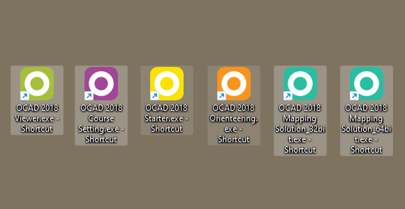
You may have to recreate some OCAD shortcuts.
Go to C:\Program Files\OCAD\OCAD 2018 Orienteering. There you will find the ‘OCAD 2018 Orienteering.exe’. Right-click on it and Create Shortcut.
Otherwise you will not notice any effect.
What’s the difference between the 64-bit and 32-bit versions of OCAD?
The 64-bit version of OCAD isn’t faster than the 32-bit version, but it can allocate more RAM. This is important when loading large raster background maps or DEM files.
Other things to note
Almost all computers today run a 64-bit version of Windows. However, if the installed Windows version is 32-bit, OCAD will only install a 32-bit version of OCAD.