Tag Archives: OCAD 12

OCAD 12 Symbol Set Conversion: The Easiest Way to Update your Orienteering Map with ISOM 2017 Symbol Set

The International Orienteering Federation (IOF) published the new International Specification for Orienteering Maps (ISOM) in April 2017.  The OCAD AG has created a new ISOM 2017 symbol set and released it in the OCAD 12 Service Update 12.2.1.

Thousands of existing Orienteering maps need to be updated in the next years with the new symbol set. The latest Service Update of OCAD 12 contains the new function Symbol Set Conversion to update the map content of old Orienteering maps according ISOM 2000 to ISOM 2017 automatically. However, the new function keeps its old layout (title, logos and other map elements).

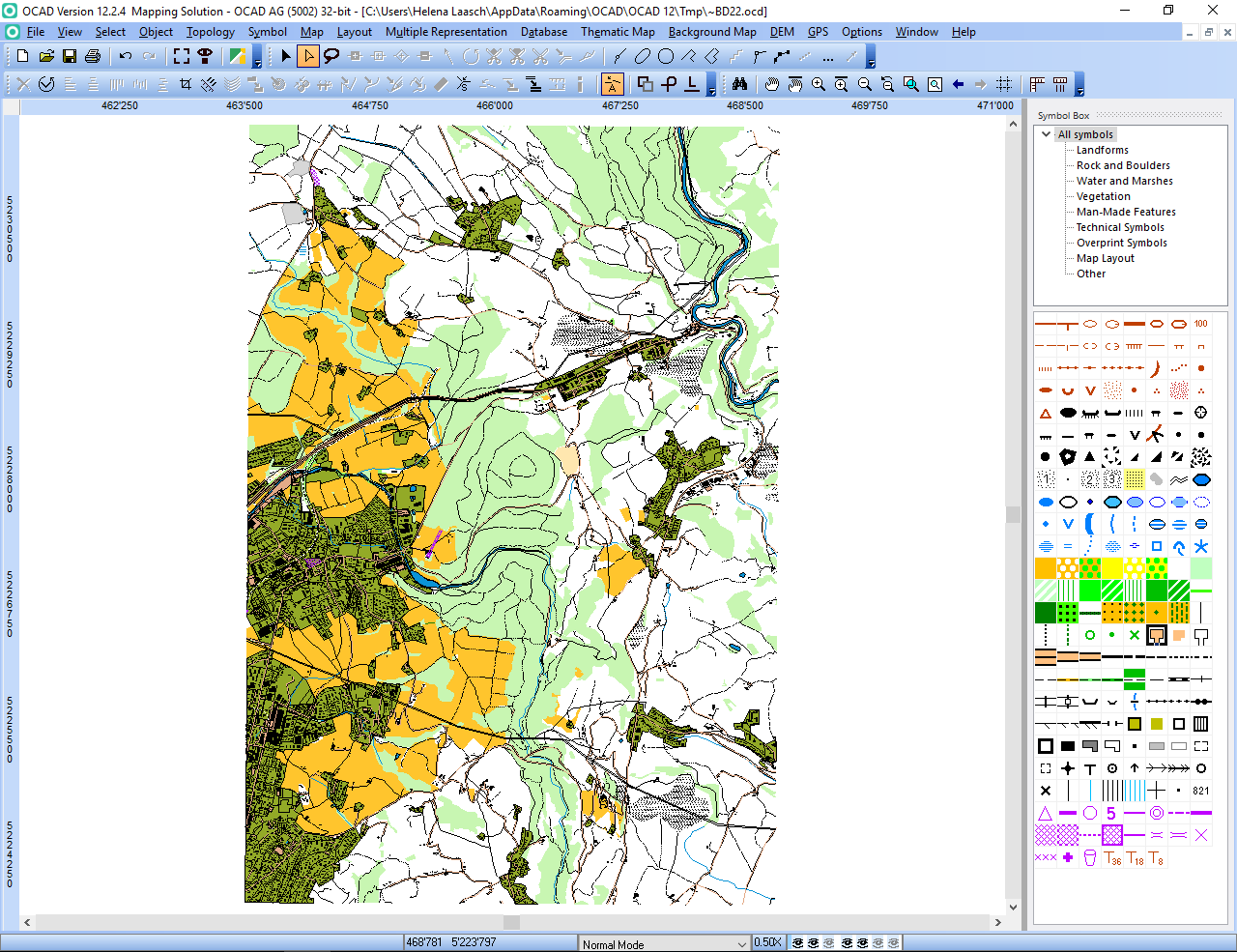
Choose this Symbol Set Conversion command from the Map menu.

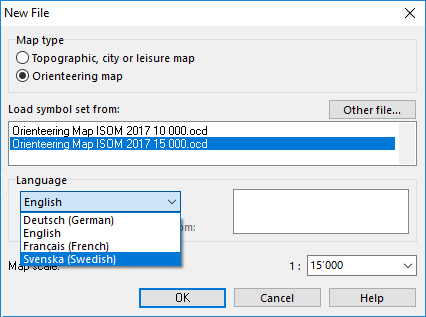
The ISOM 2017 symbol set with the correct map scale and the crt file is already loaded. Choose your preferred language for the description of symbols and color names.

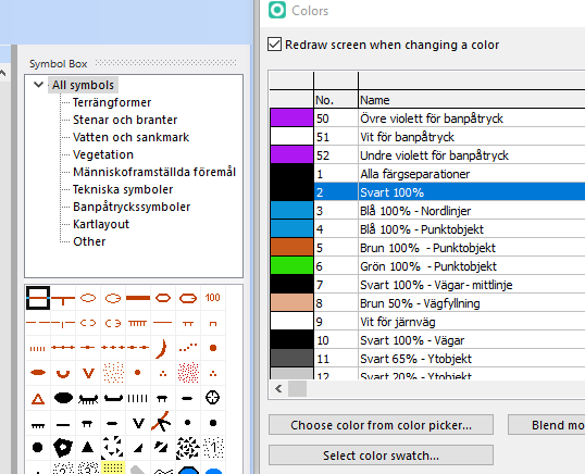
The old ISOM 2000 symbols are already assigned to a new ISOM 2017 symbol according to the crt file. Or you can assign each symbol to another one.

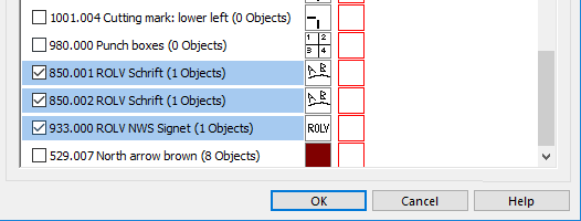
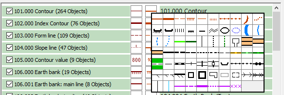
Choose the symbols from the old layout which you want to keep in the new ISOM 2017 symbol set.

Click OK to replace the symbol set.

The new ISOM 2017 symbol set is loaded and the chosen layout symbols from the old map are at the top of the symbol box.

For more information please read our Wiki.

How to Check if the Map Is Correctly Georeferenced?

It exists different options, but the easiest way is to overlay the map in Google Earth.

Check first if the map is georeferenced. Click Map -> Set Scale and Coordinate System and check if the Real-world coordinates and the Coordinate system are set.

Export the map in KMZ Google Earth format.

Click File -> Open Recently Export Documents to open the kmz file in Google Earth. That works only if Google Earth is also installed.

The map matches which the Google Earth image. So, the OCAD map is correctly georeferenced.

Open Street Map to ISOM 2017

There is a new features available in the current version of OCAD. You can create a new orienteering map based on open street map data.

Click on File -> New Map Wizard. A dialog appears. Choose ISOM 2017, set the scale and click on the button with the three dots to choose a filename.Click Next.

Enter a name of a town in the search field and click on Go. Move the map to the center to choose the right area. Change the coordinate system in the bottom.Click on Next.

Change the .crt file to ‘OSM to ISOM 2017.crt’. 

Wait a few minutes and you will get shown the imported OpenStreetMap data with ISOM 2017 symbols. Perhaps you have to delete some huge areas that cover the entire map.

Multilingual Symbol Set

The current version OCAD 12.2.3 contains a nice new feature: multilingual symbol sets.

The new ISOM 2017 symbol set for orienteering maps is available in English, Swedish, French and German. Click File -> New File. Choose Orienteering map and select an ISOM 2017 symbol set. Choose the preferred language.  

OCAD loads the symbol descriptions, symbol tree names and color names in the chosen language.

Other languages and symbol sets will follow.

More about ISOM 2017.

Transfer your OCAD 12 License Easier from One Computer to Another One

OCAD 12.2 has a new function to transfer easier your license from one computer to another one: The License Transfer Utility .

This function deactivates the license on your computer and allows you to install this license on another one. The computer has to be online to deactivate OCAD. After the deactivation, you can open OCAD files in the OCAD 12 Viewer but not edit maps.

Start OCAD 12 and close all open files. Click on License Transfer Utility in the Help menu

Fill out the form and click Transfer to send the request to OCAD AG and deactivate the license. OCAD sends a confirmation email to the entered email addresses. We will proceed your request as soon as possible at the latest within 2 working days.

Click the Close button to close OCAD.

When restarting OCAD the License Activation dialog appears.

You have two options: Click Open OCAD Viewer to open the OCAD Viewer. It is possible to view and print map, but not to edit. Click Reactivate this License to start the Activation Wizard if the license isn’t activated on another computer.

This new License Transfer Utility replaces the License Transfer Form from the website.