Three new orienteering symbol sets are available in the latest OCAD Update:
- Updated ISSprOM 2019-2
- Minor Update to ISOM 2017-2
- New ISMTBOM 2022 released
Updated ISSprOM 2019-2
The International Specification for Sprint Orienteering Maps (ISSprOM 2019-2) has been updated and is valid from 15th January 2022.
The sprint orienteering symbol sets in OCAD have been updated to meet the new specifications and are included in the latest OCAD Update.
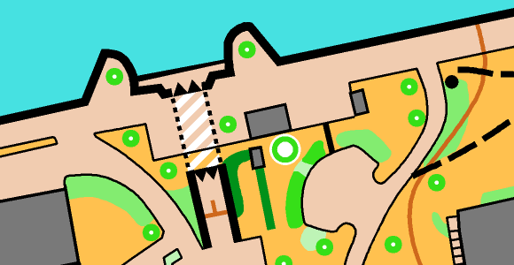
The biggest changes concern the representation of complex urban structures with multiple levels, such as tunnels, bridges or passages. In addition, impassable vegetation and impassable hedges are again displayed with dark green color.
In OCAD, existing sprint orienteering maps can be updated to the new standards in two different ways.
- If your map contain the original ISSprOM 2019 symbol set, use the Update Symbol Set function.
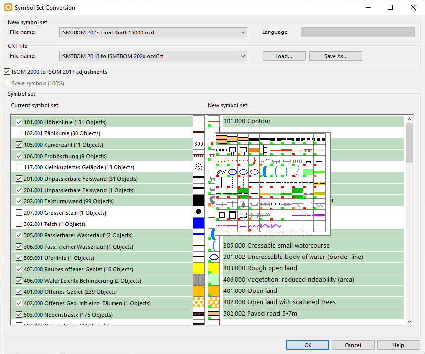
- To update an old sprint orienteering symbol set, use the function Symbol Set Conversion.
Minor Update to ISOM 2017-2
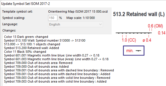
There was a minor update to The International Specification for Orienteering Maps (ISOM 2017-2) to make the parameters of some symbols consistent (e.g. 709 Out of bounds area). Also, a new symbol 513.2 Retained wall has been added to allow mapping of walls visible from only one side.
In OCAD, existing forest orienteering maps can be updated to the new standards in two different ways.
- If your map contain the original ISOM 2017-1 or ISOM 2017-2 symbol set, use the Update Symbol Set function.
- To update an old forest orienteering symbol set, use the function Symbol Set Conversion.
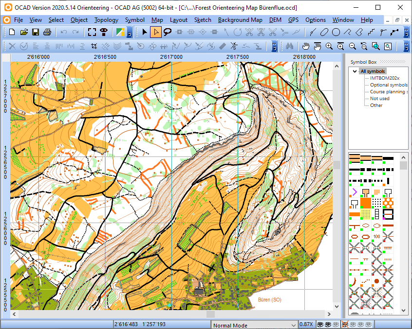
New ISMTBOM 2022 released
The International Specification for Mountain Bike Orienteering Maps (ISMTBOM2022) has been released and is valid from January 2022.
The mountain bike orienteering symbol sets in OCAD have been updated to meet the new specifications and are included in the latest OCAD Update.
Compared to the Final Draft from last October, there were only a few minor changes, such as additional symbols for narrow rides or linear traces through the terrain.
In OCAD, existing mountain bike orienteering maps can be easily updated to the new standards using the Symbol Set Conversion function.