Tag Archives: OCAD 12 Orienteering

Open Street Map to ISOM 2017

There is a new features available in the current version of OCAD. You can create a new orienteering map based on open street map data.

Click on File -> New Map Wizard. A dialog appears. Choose ISOM 2017, set the scale and click on the button with the three dots to choose a filename.Click Next.

Enter a name of a town in the search field and click on Go. Move the map to the center to choose the right area. Change the coordinate system in the bottom.Click on Next.

Change the .crt file to ‘OSM to ISOM 2017.crt’. 

Wait a few minutes and you will get shown the imported OpenStreetMap data with ISOM 2017 symbols. Perhaps you have to delete some huge areas that cover the entire map.

Multilingual Symbol Set

The current version OCAD 12.2.3 contains a nice new feature: multilingual symbol sets.

The new ISOM 2017 symbol set for orienteering maps is available in English, Swedish, French and German. Click File -> New File. Choose Orienteering map and select an ISOM 2017 symbol set. Choose the preferred language.  

OCAD loads the symbol descriptions, symbol tree names and color names in the chosen language.

Other languages and symbol sets will follow.

More about ISOM 2017.

Transfer your OCAD 12 License Easier from One Computer to Another One

OCAD 12.2 has a new function to transfer easier your license from one computer to another one: The License Transfer Utility .

This function deactivates the license on your computer and allows you to install this license on another one. The computer has to be online to deactivate OCAD. After the deactivation, you can open OCAD files in the OCAD 12 Viewer but not edit maps.

Start OCAD 12 and close all open files. Click on License Transfer Utility in the Help menu

Fill out the form and click Transfer to send the request to OCAD AG and deactivate the license. OCAD sends a confirmation email to the entered email addresses. We will proceed your request as soon as possible at the latest within 2 working days.

Click the Close button to close OCAD.

When restarting OCAD the License Activation dialog appears.

You have two options: Click Open OCAD Viewer to open the OCAD Viewer. It is possible to view and print map, but not to edit. Click Reactivate this License to start the Activation Wizard if the license isn’t activated on another computer.

This new License Transfer Utility replaces the License Transfer Form from the website.

International Specification for Orienteering Maps (ISOM) 2017 Symbol Sets for OCAD 12

The International Orienteering Federation (IOF) published the new ISOM 2017 last week which replaces the ISOM 2000. For IOF events between 1 May and 31 December 2017, both ISOM 2000 and ISOM 2017 could be accepted (see also IOF News).

Symbol Sets
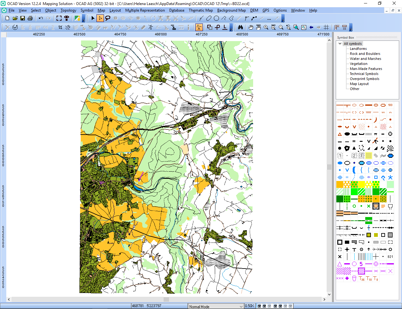
We have created the new symbol set and released it in the OCAD 12 Service Update 12.2.1.
This Service Update contains the following new symbol sets:

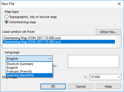
– Orienteering Map ISOM 2017 15 000.ocd
– Orienteering Map ISOM 2017 10 000.ocd (150% enlarged)
– Course setting ISOM 2017 15 000.ocd
– Course setting ISOM 2017 10 000.ocd (150% enlarged)

These symbol sets are in English language. We are working on the translations. We have tested the new symbol sets carefully but they still can contain errors. If you detect an error please report it as soon as possible to support@ocad.com . Thanks for your collaboration!

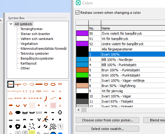
We have also created a conversion table between ISOM 2000 and ISOM 2017. This table file ISOM 2000 to ISOM 2017.crt is in the OCAD program subfolder \crt\ (e.g. C:\Program Files\OCAD\OCAD 12 Edition\Crt). Use the function Map -> Load Colors and Symbols From to load the new ISOM 2017 symbol and using the conversion table.

So download and install the latest OCAD 12 Service Update or register for OCAD 12 Trial version.

OCAD 11
You can download the OCAD 11 symbol sets from this link. Please unzip the file and copy the 6 files to the OCAD program subfolder \Symbol\ (e.g. C:\Program Files (x86)\OCAD\OCAD 11 EDITION\Symbol/ ).

Please note that it is not possible to convert an ISOM 2017 OCAD 12 course setting project to OCAD 11, because the preview objects have other symbol numbers.

OCAD 12 Service Update from 2017-04-12
Many thanks for reporting errors. We did the following changes in the Service Update 12.2.1.1341:
– 110 Small Elongated Knoll: Symbol is not oriented to north.
– 203.001 Cave: Symbol added. Symbol is not oriented to north.
– 312 Spring: Symbol is not oriented to north.
– 501 Paved Area: Border line added.
– Color ‘Green 50% – Area Feature’: Number changed.
– 307.001 Uncrossable Marsh (Minimum): Symbol number changed to 307.002.
– 307.001 Uncrossable Marsh (Area): New symbol without border line added.
– 201.005 Impassable Cliff, Pit (Minimum): Symbol number changed to 201.006.
– 201.005 Impassable Cliff (Minimum): New symbol without tags added.
– 202.003 Cliff (Minimum): New symbol without tags added.

OCAD 12 Service Update from 2017-04-18
Many thanks for reporting errors. We did the following changes in the Service Update 12.2.1.1348:
– 508.005 Narrow Ride or Linear Trace (Short Line): New symbol added for short lines without a gap.

We recommend you to download the Service Update 12.2.1.1348 from Help menu -> OCAD Service Update and install it.

Link:

Check your Urban Orienteering Map with Google Street View

The current OCAD 12.1.1.0946 Service Update contains a new feature which really helps the mappers of urban Orienteering maps if Google Street View is available in this area.

Click to the Open Google Street View icon GooglStreetViewToolbarIcon in the toolbar. The cursor changes to an arrow.

Click into the drawing area and drag a direction.

GoogleStreetViewDrawingArea

OCAD opens the web browser with Google Street View at the chosen position and direction.

GoogleStreetView

Of course the function works only when the map is georeferenced.

OCAD 12 Wiki: Open Google Street View

Map: Swiss O Week training map “Zuoz”.