Tag Archives: ISOM 2017

Check readability of orienteering maps directly

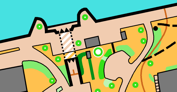
The abundance of very precise data partly leads to the fact that orienteering maps become more detailed, whereby the readability of the maps may suffer.

In OCAD, it is now possible to check directly during drawing whether the drawn line or area object corresponds to the minimum dimension of the IOF. In the lower left corner of the screen, an indication appears whether the object has already fulfilled the minimum dimension or not. If this is the case, the indication appears green. If not, the indication appears red. In this case, an additional percentage indication shows by how much the object is too small.

Go to the OCAD Preferences > Drawing and Editing > Legibility to activate this function.

CheckIOFMinimumDimensions

Of course, there are always justified reasons to ignore the minimum dimensions. Nevertheless, this tool sensitizes you to draw objects large enough or to omit them for the sake of readability.

Together with the already available legibility halo, which reminds the user to leave enough space between adjacent objects, OCAD offers best support directly during drawing for well readable orienteering maps .

Reminder: Another tool to check the readability of orienteering maps is the Check Legibility function. This function also veryfies minimum distances between objects, minimum length of line objects or minimum size of area objects according to ISOM 2017. This tool can also be used by Event Advisers and Map Consultants that need to check a map.

New Orienteering Symbol Sets in OCAD

Three new orienteering symbol sets are available in the latest OCAD Update:

  • Updated ISSprOM 2019-2
  • Minor Update to ISOM 2017-2
  • New ISMTBOM 2022 released

Updated ISSprOM 2019-2

The International Specification for Sprint Orienteering Maps (ISSprOM 2019-2) has been updated and is valid from 15th January 2022.

The sprint orienteering symbol sets in OCAD have been updated to meet the new specifications and are included in the latest OCAD Update.

The biggest changes concern the representation of complex urban structures with multiple levels, such as tunnels, bridges or passages. In addition, impassable vegetation and impassable hedges are again displayed with dark green color.

In OCAD, existing sprint orienteering maps can be updated to the new standards in two different ways.

Minor Update to ISOM 2017-2

There was a minor update to The International Specification for Orienteering Maps (ISOM 2017-2) to make the parameters of some symbols consistent (e.g. 709 Out of bounds area). Also, a new symbol 513.2 Retained wall has been added to allow mapping of walls visible from only one side.

In OCAD, existing forest orienteering maps can be updated to the new standards in two different ways.

  • If your map contain the original ISOM 2017-1 or ISOM 2017-2 symbol set, use the Update Symbol Set function.
  • To update an old forest orienteering symbol set, use the function Symbol Set Conversion.

New ISMTBOM 2022 released

The International Specification for Mountain Bike Orienteering Maps (ISMTBOM2022) has been released and is valid from January 2022.

The mountain bike orienteering symbol sets in OCAD have been updated to meet the new specifications and are included in the latest OCAD Update.

Compared to the Final Draft from last October, there were only a few minor changes, such as additional symbols for narrow rides or linear traces through the terrain.

In OCAD, existing mountain bike orienteering maps can be easily updated to the new standards using the Symbol Set Conversion function.

Open Street Map to ISOM 2017

There is a new features available in the current version of OCAD. You can create a new orienteering map based on open street map data.

Click on File -> New Map Wizard. A dialog appears. Choose ISOM 2017, set the scale and click on the button with the three dots to choose a filename.Click Next.

Enter a name of a town in the search field and click on Go. Move the map to the center to choose the right area. Change the coordinate system in the bottom.Click on Next.

Change the .crt file to ‘OSM to ISOM 2017.crt’. 

Wait a few minutes and you will get shown the imported OpenStreetMap data with ISOM 2017 symbols. Perhaps you have to delete some huge areas that cover the entire map.