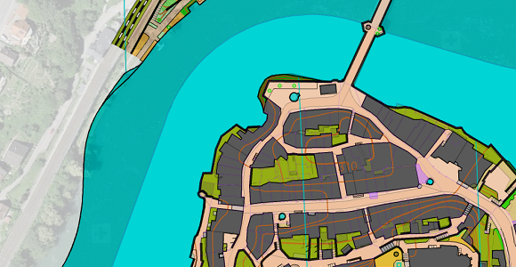
We hope you started the new year well and healthy and have some interesting mapping projects ahead of you. There is no lack of mapping projects for our employee Andreas Kyburz. In this Video he shows you how he georeferences an old sprint map and renews its symbol set.

