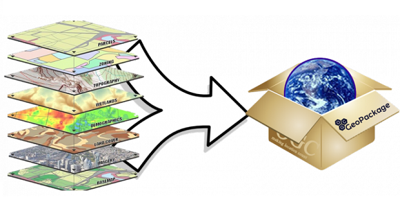
A GeoPackage (GPKG) is a data format for geographic information system implemented as a SQLite database container.
With the latest Update, it is now possible in OCAD in a test version to import point, linestring and polygons from GeoPackage. We are grateful for feedback.
More about the GeoPackage import.