The Corona Pandemic created the need to offer orienteering trainings which can be done individually and over a longer period of time.
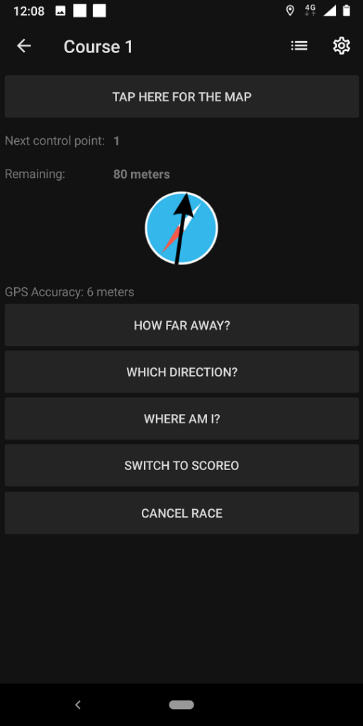
In this blog we present 2 nice (and free) apps, which make orienteering courses available year round with no need for flags to mark the control points. Instead, the apps track your location via GPS from your smartphone and make a sound when you have found the control points.
The two apps we have tested are:
MapRunF, developed by a keen orienteer in Brisbane Australia.
UsynligO, developed by Trond Benum from Norway.
To set up a new event, both apps require a map file and a course setting file. These can be easily created and exported with OCAD. Due to the use of GPS, it is important that the files are georeferenced correctly.
For a new map we recommend to start it with the New Map Wizard. In addition to the correct georeferencing, geodata can be imported directly. But also old maps can be georeferenced afterwards.
The georeferenced map file can then be loaded as background map in the course setting project. Now the courses can be set.
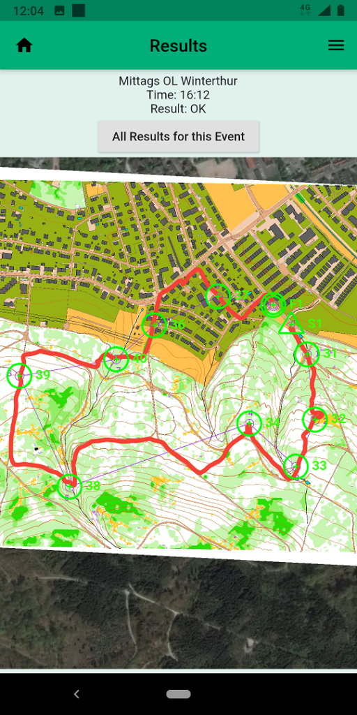
MapRun
To upload maps and courses to MapRunF, you need to export…
- The course setting project itself as KMZ via menu File > Export > KMZ Google Earth (raster).
- The courses as KML via menu Course Setting > Export > Courses (KML). The KML export is available with the latest Service Update.
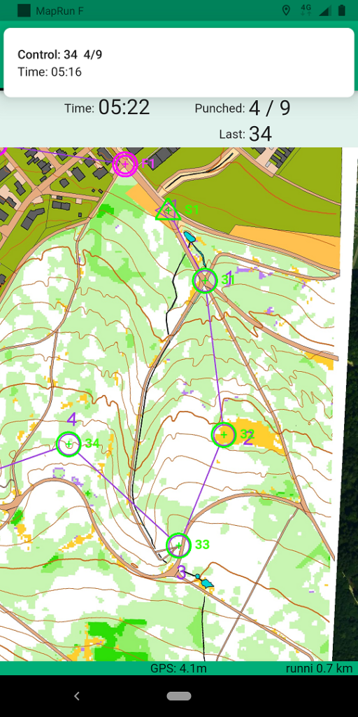
BTW: The map above was created within 5′ by importing Open Data with New Map Wizard and processing LiDAR Data with the DEM Wizard.
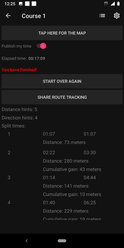
UsynligO
To upload maps and courses to UsynligO, you need to export…
- The course setting project itself as PDF via menu File > Export >PDF
- Courses as IOF 3.0 XML via menu Course Setting > Export > Courses (XML,IOF Version 3.0)
For more information about the apps, please visit their websites.
The information above is also available in our Wiki.