Nowadays, when mapping with high resolution and accurate base maps, the temptation is great to draw too many and too small objects. This may result in a poorly readable map.
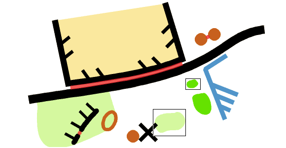
The function Check Legibility veryfies minimum distances between objects, minimum length of line objects or minimum size of area objects according to ISOM 2017.
This will help map makers to find the right degree of generalisation and make the maps better readable. Furthremore, Event Advisers and Map Consultants have a tool to check the maps.
Short video about the function on YouTube.
More information on our OCAD Wiki.
I have an idea: Would it be able to develope a function that, when drawing an object, warns if the area or length is too little or too short? That means that it´s of course is necessary to check, but many faults can be adjusted immediately.
Thanks for the comment, Björn. We will take you suggestion into consideration.