You may have symbols on your map, which consist of many different line and/or area objects. Editing and moving around these Symbols can get tedious. In OCAD Mapping Solution, there’s a function to Convert Area and Line Objects to a Point Symbol (Wiki).
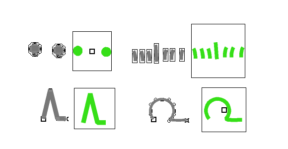
A typical example for this function would be the import of a PDF. Vector objects in PDF files are imported as Image Objects (grey objects) and can be converted to Point Symbols (green objects). Learn here, how to Create a Point Symbol out of Vector Data (Video).
Your map becomes more consistent and better structured.